Manuel Rodríguez
General information
- Category
- Wildfire
- Fire classification
- Convective plume
- Country
- Chile
- Year
- 2025
 © CONAF
 © @INFOSCHILE
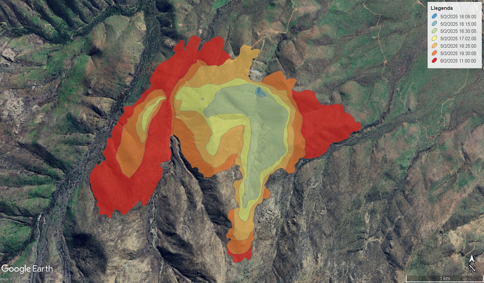
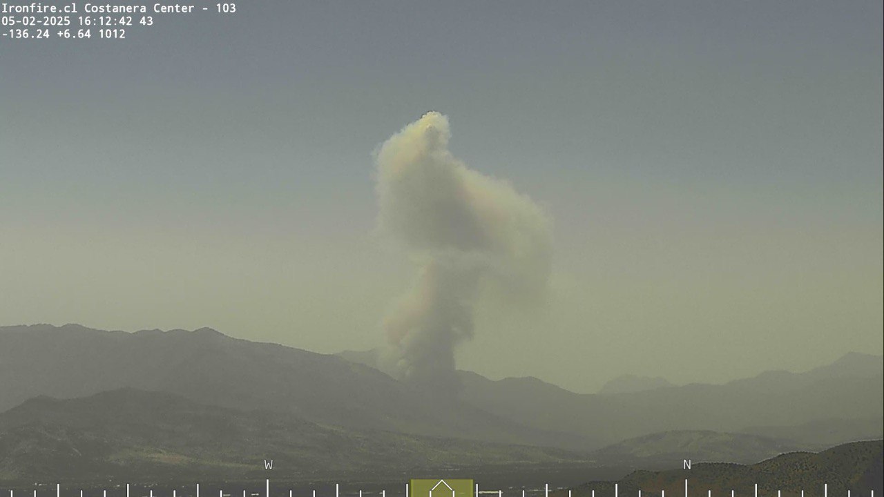
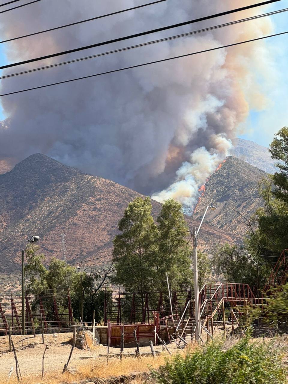
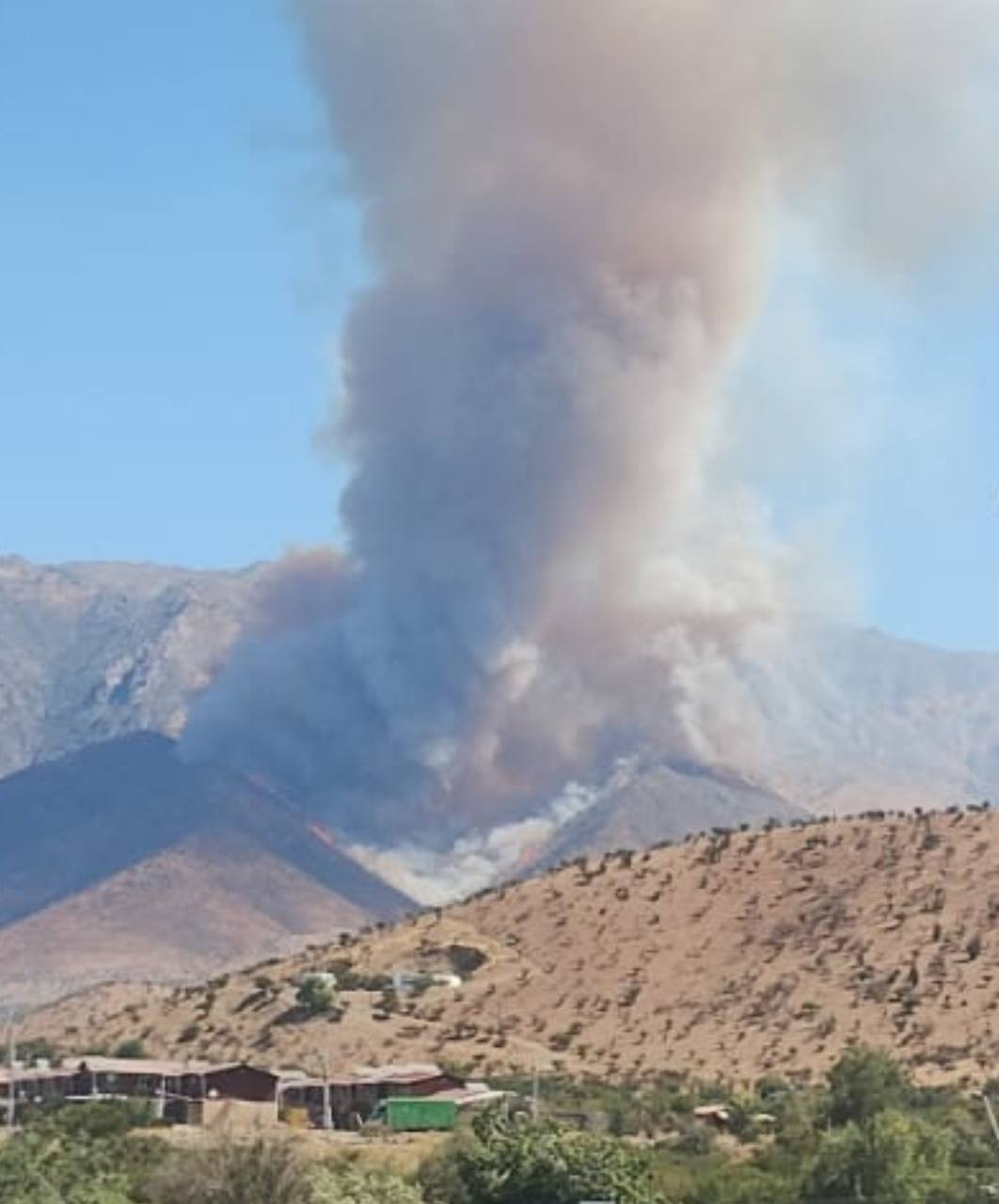
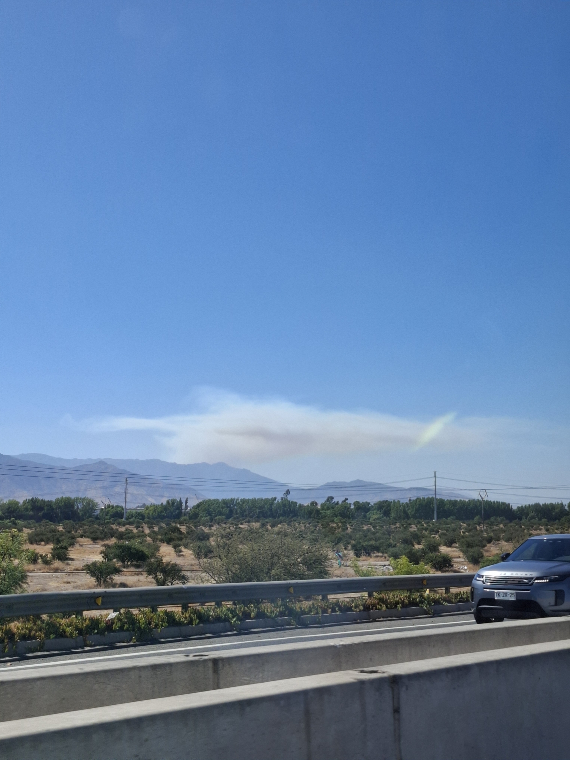
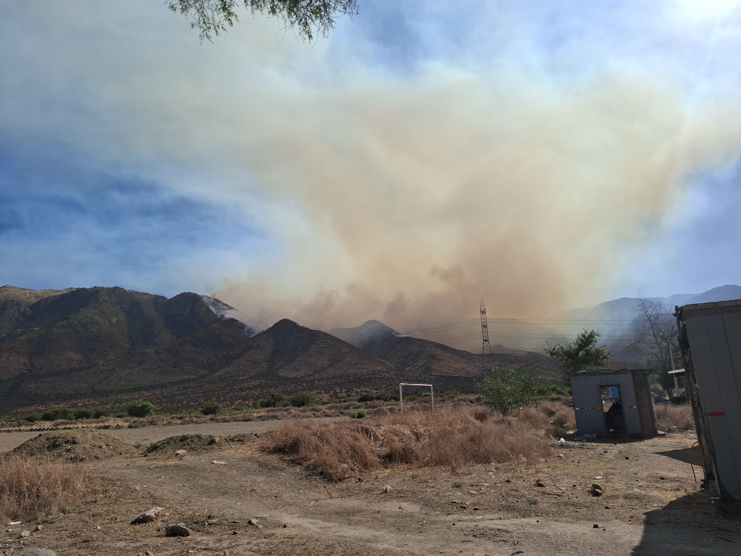
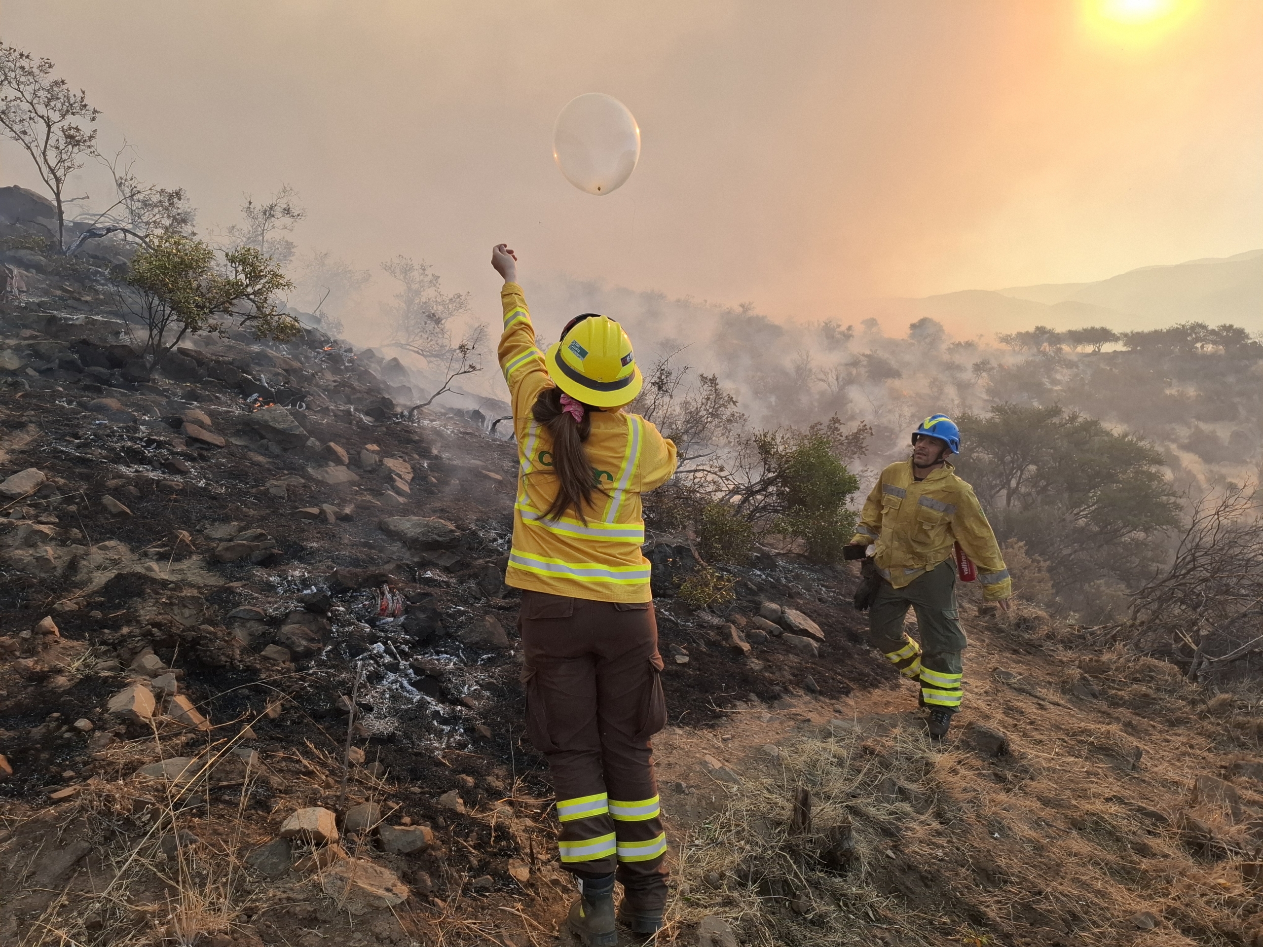
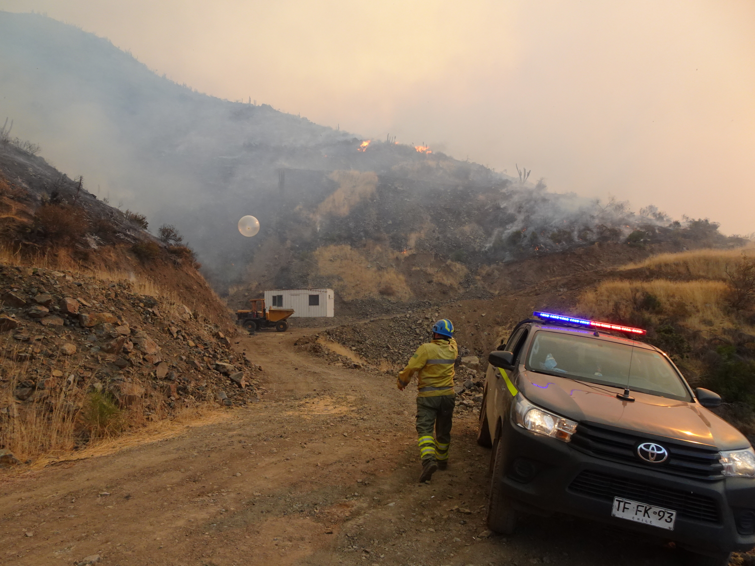
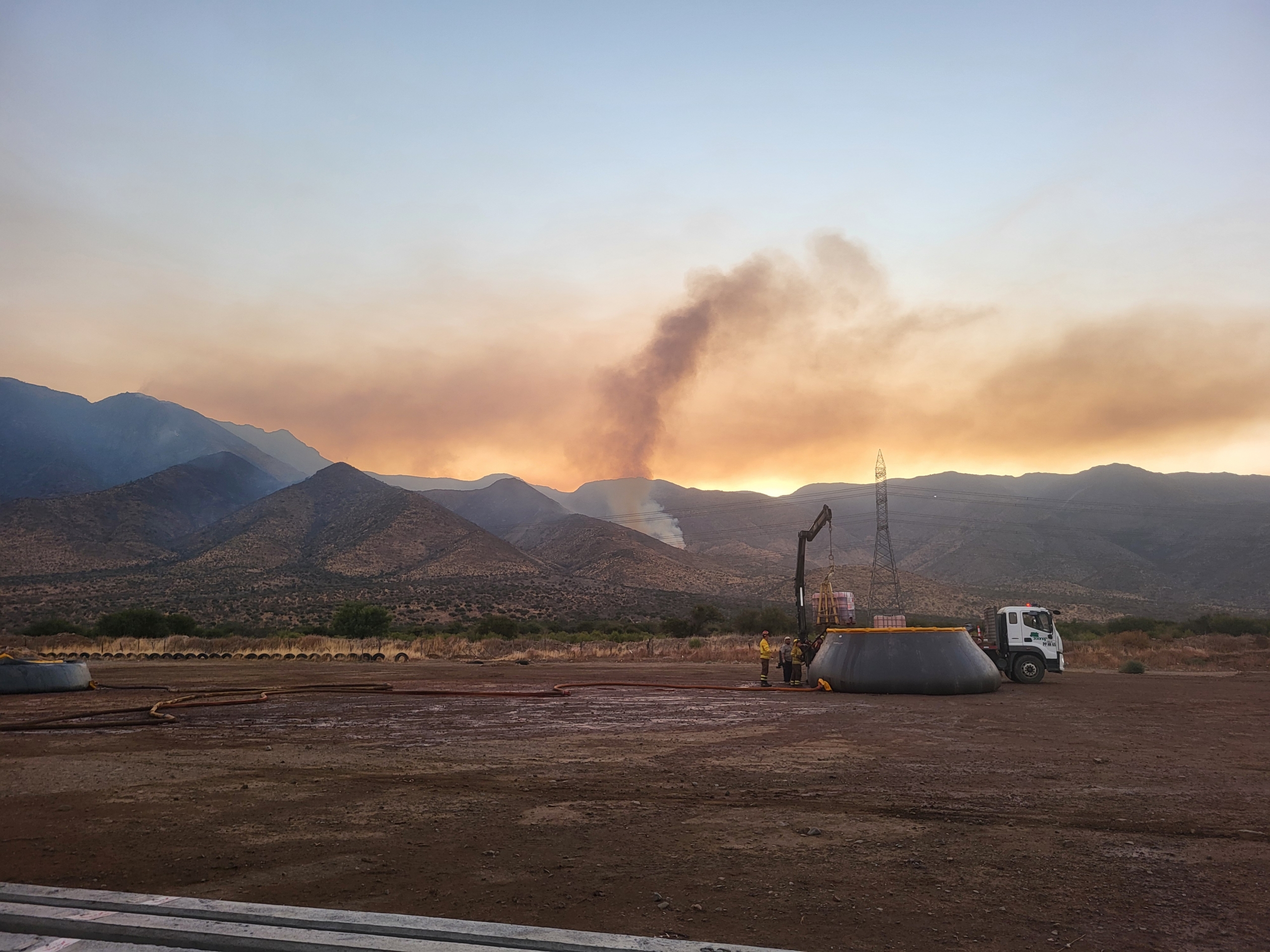
The Manuel Rodríguez fire originated at the base of a ravine, an area that is challenging to access due to its topography, mainly covered with scrubland. It began with a high-intensity topographical run, which resulted in the generation of an important convective plume and a small, short-lived overshooting PyroCu. Upon reaching the topographical peak and running out of fuel, the column decreased, and the flanks opened up (mainly the right flank), with spotting, moving the fire to the adjacent valley. From that point on, the fire remains at medium-low intensity, but due to the complexity of the terrain, it ultimately affects 370 hectares.
Fire behaviour and surface observations
| Start location lat | -33.132803 deg N |
| Start location lon | -70.952737 deg E |
| Start location name | Manuel Rodríguez |
| Start hour | 05/02/2025 18:55:00 (UTC) |
| Surface affected | 370 ha |
| Fire behavior | Surface, mid intenisty |
| Torching head | 5 % |
| Torching flanks | % |
| Flame length mean head | 1.5 m |
| Flame length max head | 5 m |
| Flame length mean flanks | 0.5 m |
| Flame length max flanks | 1.5 m |
| Spotting mean | m |
| Spotting max | 150 m |
| Rate of spread mean | 300 m/h |
| Rate of spread max | 2800 m/h |
| Burn ratio mean | 20 ha/h |
| Burn ratio max | 110 ha/h |