Guissona
General information
- Category
- Wildfire
- Fire classification
- Deep PyroCu / PyroCb
- Country
- Catalonia, Spain
- Year
- 2025
 © Catalan Fire and Rescue Service
 © Catalan Fire and Rescue Service
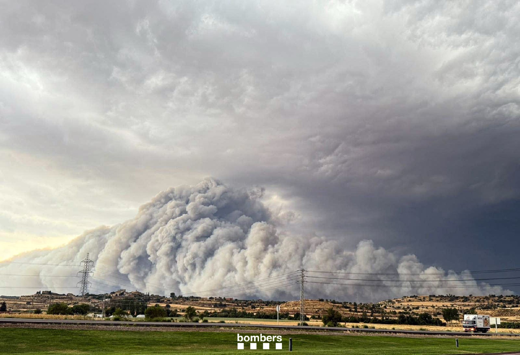
The Guissona wildfire interacted with nearby storms, causing it to grow significantly and generating big vertical development of the plume. It was started by a harvesting machine. In the early stages, it spread rapidly across unharvested agricultural fields in a northerly direction until it reached a small forested area, whereupon it intensified. In just over half an hour, it had travelled 1,500 metres. At this point, due to the influence of the storms, the direction of spread changed by 90 degrees towards the west, generating a 1.5-kilometre-wide head (the left flank). This enabled the fire to spread at speeds of up to 12 km/h, consuming more than 6,000 hectares per hour, until the storm discharged, causing a change in spread direction towards the south.
 © Catalan Fire and Rescue Service
© Catalan Fire and Rescue Service
© Catalan Fire and Rescue Service
 © Catalan Fire and Rescue Service
 © Catalan Fire and Rescue Service
 © Catalan Fire and Rescue Service
 © Catalan Fire and Rescue Service
 © Catalan Fire and Rescue Service
 © Catalan Fire and Rescue Service
 © Catalan Fire and Rescue Service
 © Catalan Fire and Rescue Service
Fire behaviour and surface observations
| Start location lat | 41.831381 deg N |
| Start location lon | 1.249456 deg E |
| Start location name | Guissona |
| Start hour | 01/07/2025 15:08:00 (UTC) |
| Surface affected | 6346 ha |
| Fire behavior | Surface, high intensity |
| Torching head | % |
| Torching flanks | % |
| Flame length mean head | 3 m |
| Flame length max head | 10 m |
| Flame length mean flanks | 2 m |
| Flame length max flanks | 5 m |
| Spotting mean | 100 m |
| Spotting max | 1000 m |
| Rate of spread mean | 6 m/h |
| Rate of spread max | 12 m/h |
| Burn ratio mean | 2500 ha/h |
| Burn ratio max | 6000 ha/h |
