El Valle 2
General information
- Category
- Wildfire
- Fire classification
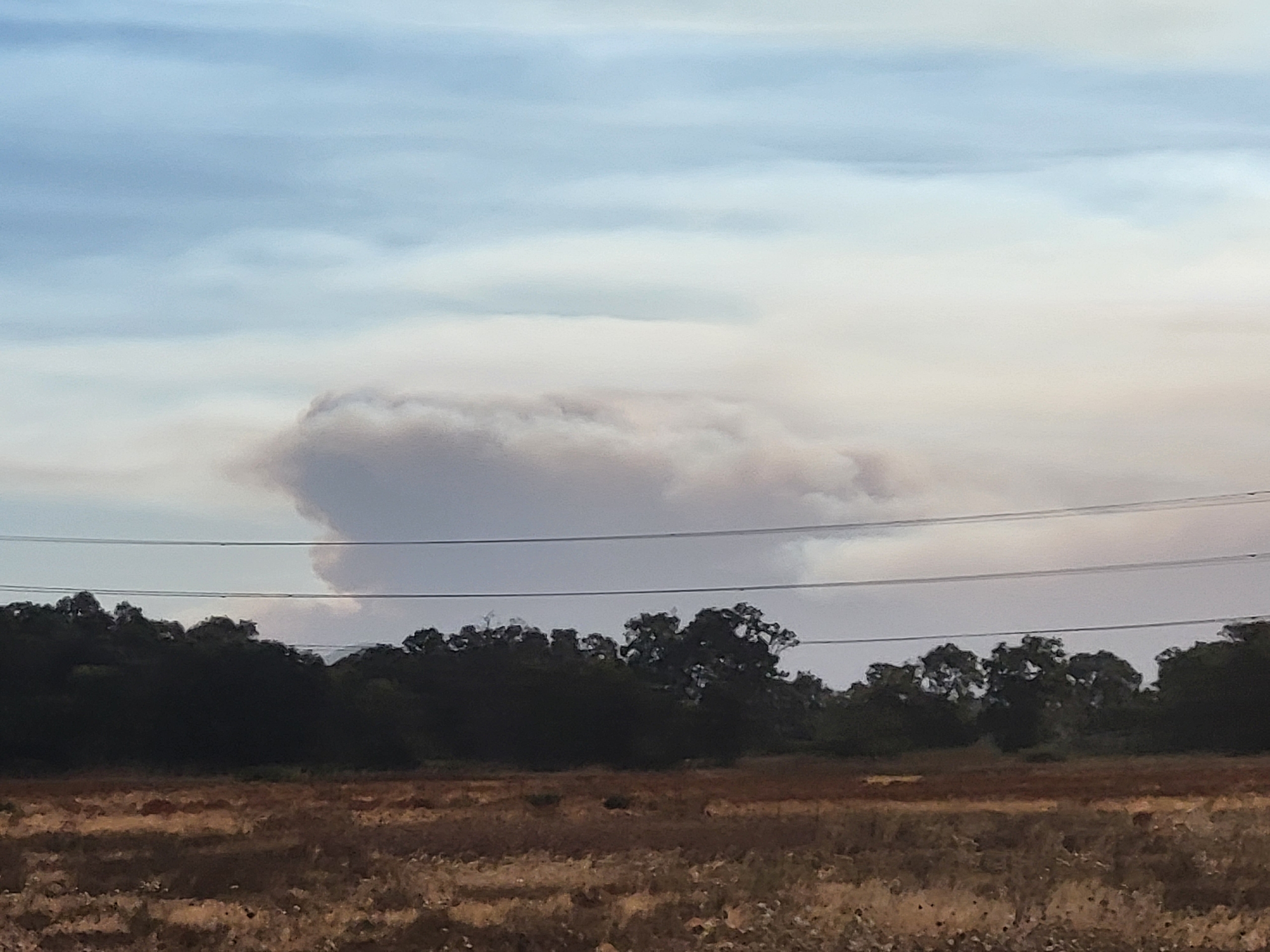
- Overshooting PyroCu
- Country
- Chile
- Year
- 2025
 © EWED
 © CONAF
The El Valle 2 fire starts in a upslope run in a forested area, that generates high intensity, burning more than 300ha/h, until the fire reached the top of the slope and slowed down. By the end of the day,the fire stops in a downslope to the river. The following day (11th), the right flank of the fire reignited early, before 11 a.m., with a spotting that jumped the river and quickly spread uphill with high intensity. From midday onwards, the fire jumped the river on the left flank, widening the fire front and allowing it to increase in intensity and speed. During the afternoon, the fire spread most rapidly, covering more than 3 km in an hour, with high intensity and significant vertical growth of the column, with a short-lived overshooting pyrocumulus. During the night, the fire reduced in intensity and much of the perimeter stabilised. During the late morning of the 12th, a reproduction occurred on the left flank, which ended up generating a 3.5 km run, with a spotting more than 1.3 km away. The back of the fire also opened up on both flanks, with its left flank ending up impacting a fire that had burned a couple of days earlier.


Fire behaviour and surface observations
| Start location lat | -38.367708 deg N |
| Start location lon | -72.748855 deg E |
| Start location name | El Valle 2 |
| Start hour | 10/02/2025 17:50:00 (UTC) |
| Surface affected | 4406 ha |
| Fire behavior | Surface, high intensity |
| Torching head | 30 % |
| Torching flanks | % |
| Flame length mean head | 4 m |
| Flame length max head | m |
| Flame length mean flanks | 2.5 m |
| Flame length max flanks | m |
| Spotting mean | m |
| Spotting max | 1400 m |
| Rate of spread mean | 1200 m/h |
| Rate of spread max | 4000 m/h |
| Burn ratio mean | 300 ha/h |
| Burn ratio max | 780 ha/h |
