Drunen
General information
- Category
- Wildfire
- Fire classification
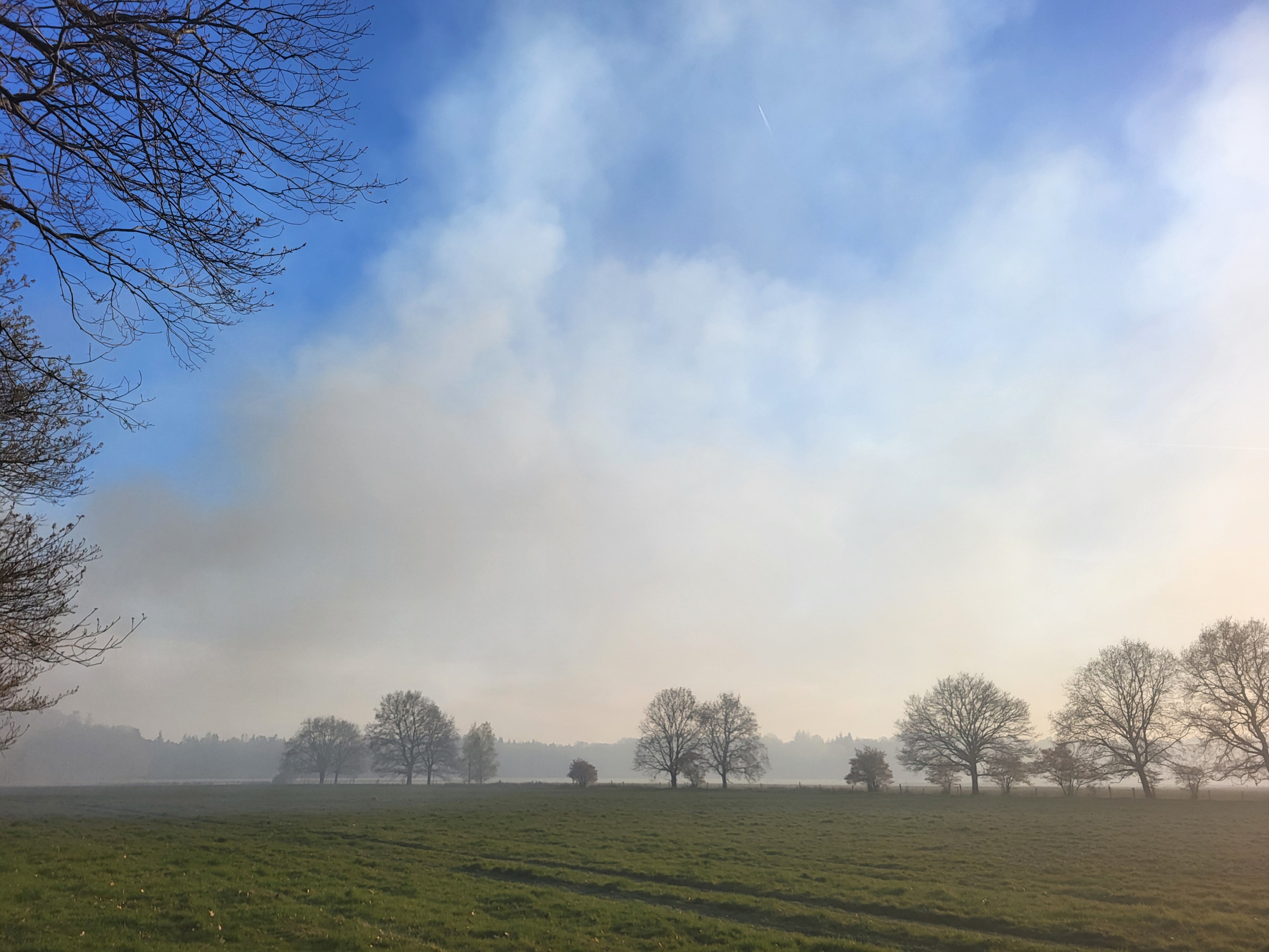
- Surface plume
- Country
- The Netherlands
- Year
- 2025
 © Tom Hessels
 © NIPV
The Drunen wildfire started due to an unknown cause in the Loonse en Drunense duinen nature area. It was located in a mixed forest in the far northwest of the nature area, mainly containing pine trees. The fire mainly burned in dead fuels and tall and dry grass underneath the canopy and showed little to no torching. Due to the southeast wind direction the head of the fire quickly stopped due to a discontinuity in fuel. The main perimeter was thus a result of backing and flanking fire behaviour. The fire reactivated a few days after the start of the fire and after some light rains. Due to a lack of good data, the final perimeter and the described fire behaviour are best estimations.


Fire behaviour and surface observations
| Start location lat | 51.671205 deg N |
| Start location lon | 5.106621 deg E |
| Start location name | Drunen |
| Start hour | 12/04/2025 15:19:00 (UTC) |
| Surface affected | 40 ha |
| Fire behavior | Surface, mid intenisty |
| Torching head | % |
| Torching flanks | % |
| Flame length mean head | 3 m |
| Flame length max head | 8 m |
| Flame length mean flanks | 1 m |
| Flame length max flanks | 2 m |
| Spotting mean | m |
| Spotting max | m |
| Rate of spread mean | m/h |
| Rate of spread max | m/h |
| Burn ratio mean | ha/h |
| Burn ratio max | ha/h |
